

I wake and start packing as quietly as possible, but the slope that I am camped on is so steep that I don't dare try to pack here, so I carry my things one by one to a more level area nearby and at 6 a.m. I am headed back to the trail.
I wait until I'm at the junction with the AT to change out of my clothes and pull out my morning snacks so I wouldn't wake anyone at camp. I look up and see the sun illuminating the rocky peak above, and it is glorious in the gloom of the spruce forest. I also take a minute to check out the hike for today.

The elevation profile for today's hike looks pretty easy. I will hike up to the last peak of the Bigelows to gain 1,000 feet over the next three miles, which is pretty tame.
The trail is rocky and very rooty in places but everything is going well until I am following the trail. There is a large deadfall tree spread across the trail and see that there is another path around the tree but then it dead ends. When I look at my GPS I realize that I'm off the trail but only by about 100 feet. I am trying to navigate back to the trail when I get a phone call from my Dad he's been watching my trek via my InReach and he wants to tell me that I'm off the trail! I'm thrilled that my parents are checking in on me during my hike! And I realize I forgot to put my phone into airplane mode to save the battery.
The connection is poor and just then another hiker comes up from behind me, also off the trail. He is hiking with Dr. Silvercrotch who is on the right trail and they holler back and forth to each other, eventually getting both of us on the right path. I realize two things from this experience. One is that if I get off the trail I need to backtrack immediately so I don't get lost in the Maine wilderness, and the second is that I really need to ask Dr. Silvercrotch how he got his Trail name.
Back on the trail I continue upward to the crest of Little Bigelow Mountain, the last of the Bigelow peaks. From here the trail goes downhill crossing some rocky ledges with gorgeous views of Carrabassett Valley and Flagstaff lake below, and in the distance I can see a large mountain. I pull out PeakFinder and see it's White Cap Mountain, which I will hike over at mile 2,125. Mount Katahdin is to the left, but I can't see it through the trees.

The descent is a little punishing on the knees as I lose 1,900 feet over the next three miles. Dad gives me his ETA to meet at East Flagstaff Road. So far he has not encountered any issues with his drive so I hope that's the case, because he tried another route yesterday but the access road crosses an Indian reservation and that route was closed to the public.

I arrive at Flagstaff Road at 11 am and there's no sign of Dad. The service is really spotty but I'm able to get one bar if I stand in the middle of the road. I can't reach him so I call home and talk to Mom.
She is finally able to get in touch with him. The second road he tried is also gated and blocked. I feel terrible that he drove for hours and has to turn around, but I'm also really bummed about my food situation. By not meeting him for a resupply, the limited amount of food that I had packed for two days will have to last three and a half days. I guess now I'm going to have to ration what I brought.
The good news is that the harder hikes are over for now. From this point on Maine becomes much more mellow for the next 30 or so miles, though I'm sure it's still going to be challenging. I mean, it is the Appalachian Trail, after all!
Leaving the road, I am pleasantly surprised by the easy hike. If it weren't for the thick spruce trees and the occasional bog and mud walk, I would think that I was back in the Mid-Atlantic. The difference is that the trail here is full of roots but still a nice walk in the woods for a time. I have a 500 foot climb up a hill and I'm shocked to see that there aren't any rock climbs. If the trail is like this until Katahdin it will be cruising speed indeed. Maybe I can get back up to 15 miles a day!

Maybe my knees will heal; that's what I need. And for my Achilles to stop aching so much. A hiker comes up behind me. His name is Dig and he's from Tennessee. It ends up that he knows where I grew up. He's a little younger than me but we know all of the clubs that were open in the 90's. We spend the next half hour reminiscing. He remembers Captain Bilbo's, which was torn down long ago for riverfront condos, and he worked at Landry's at around the same time. We went to the same clubs like 616, Prince Mongo's Planet, and Newbies!
We lunch by a stream. Rather he has a real lunch, heating water for a Mountain House meal while I filter water and eat a few snacks. I'm not hungry but the thought of being hungry makes me want to dive into my bear can and eat everything inside. I'm bummed that it's fall here and not spring, otherwise I could find food on the trail other than digging up edible roots if I get hungry enough!

After the lunch break we head up another hill. It's 750 feet to the top and easily graded. On the way up I stop for a pit break and Dig passes by. I wish bim good luck on his hike. He's going to try to make some rather big miles over the next week so he can get home before starting a new job In the middle of September.
I'm getting really tired by 4 PM when I arrive at West Carry Pond Lean-to. It's next to a pond that's really a lake in size and it's a gorgeous location to camp. As I'm walking up I think I might just stay here tonight. When I arrive at the shelter however, there is a guy who is set up inside. He's wearing a buff over his lower face like a mask and a hoodie is pulled tight around his face, so that only his eyes are showing. He's such a creeper that I sign the shelter logbook and carry on. He's probably harmless but there are a lot of people that come out here to hide from the law. Later I look through the comments and see the hikers dubbed him "Homeless Herman," and he's been hanging out at shelters for the last month.

The next likely camping spot is near East Carry Pond, 3.5 miles away. Thankfully I don't have any big inclines, because I am spent from the mountains of the last two weeks without a day off.
I make it to East Carry Pond at 6 PM. There's a gorgeous sandy beach, and the water is crystal clear. I won't do any swimming here, however, because FarOut comments tell of a lot of leeches in the lake.
The comments mention a campsite hidden in the trees just past the beach. When I go to check it out, there is a man setting up. Darn! I am striking out today! And it's a really cool campsite, to boot!
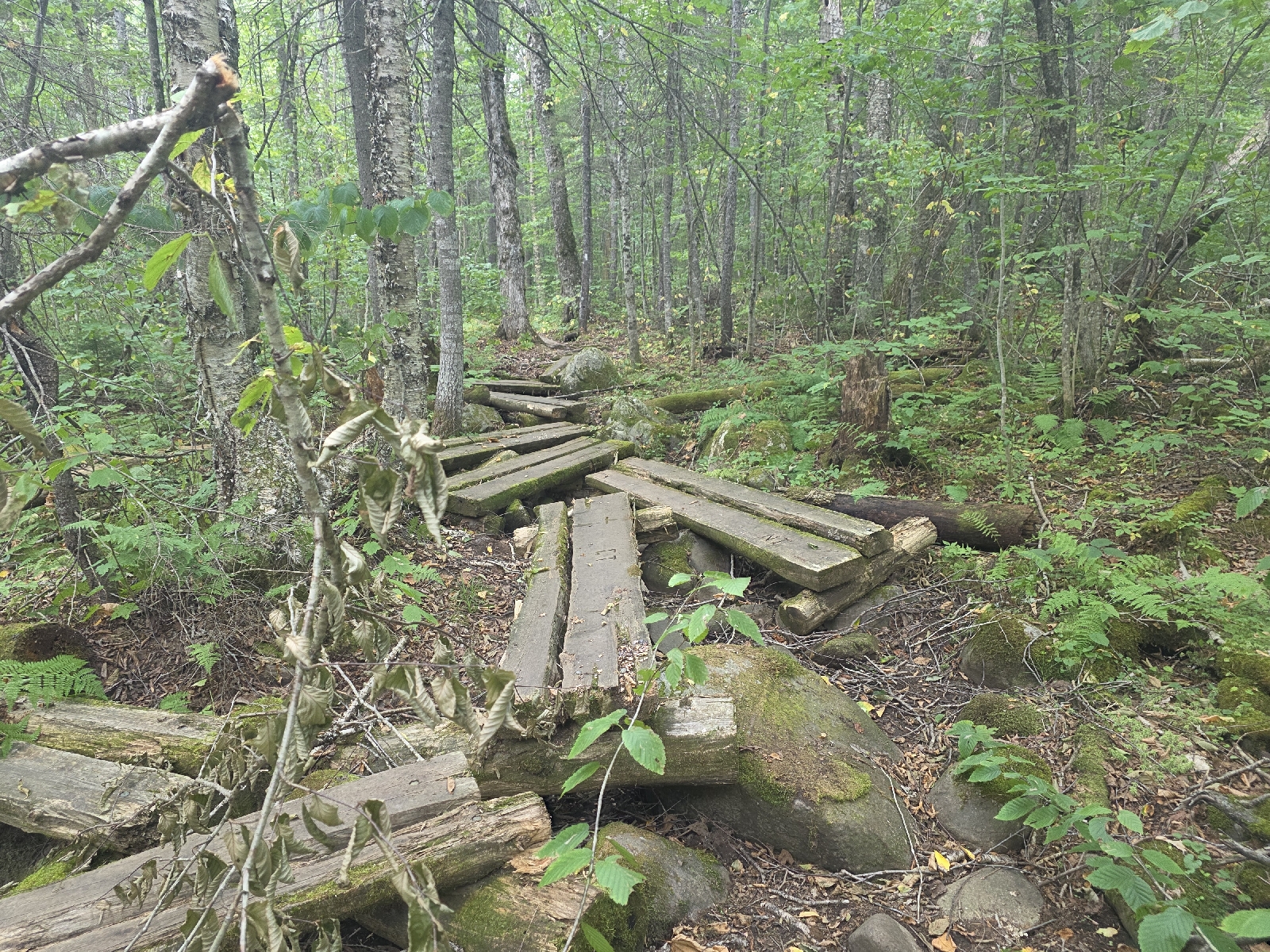
I keep walking around the pond and come to some really high and narrow log bridges across some sharp boulders. I hold my breath when I walk across them because a couple are really unstable, and I almost lose my balance in my tired legs.

Thankfully I make it across without falling. I've been working on my balance by only walking on bog bridge plank at a time, even when there are two of them, and I think it's the only thing that saved my bacon.
I get to the point of the pond where the trail heads away from the pond and I check out a little path into the woods going away from the water. There's a really nice campsite in a spruce grove, and I drop my pack. This is home for the night!

I get set up and make my dinner with the last of my water. I go down to the pond and sit on a large rock next to the water to filter water and eat dinner. It's absolutely gorgeous and so serene.
I head back to camp as the sun sets behind the trees, and I'm pleased to see that my camp is completely hidden from the trail.

I'm tucked in my wooded retreat by 7:30 PM.
Today's Stats: 16.5 miles, 2,552 feet gain
Trail Stats: 2,036 miles, 420K feet gain
Miles to Katahdin: 158
No comments :
Post a Comment