Nav Bar

About     ♦   Foraging     ♦   Backpacking     ♦   Trail Food    ♦   Wild@Home    ♦    Links    ♦   Demeter's Wild @ Home Store

Emergency Essentials/BePrepared

Appalachian Trail Day 137 - Beaver Bog Campsite to Rte. 9 near Bennington, VT (Mile 1609 to Mile 1618)

Dang, did I sleep last night! I didn't hear a thing, and I only had to get up one time to water the leaves, which in itself is amazing given the level of sweating I experienced yesterday. It was really warm when I went to bed, but I actually got a little chill in the middle of the night and put on my Alpha hoodie.

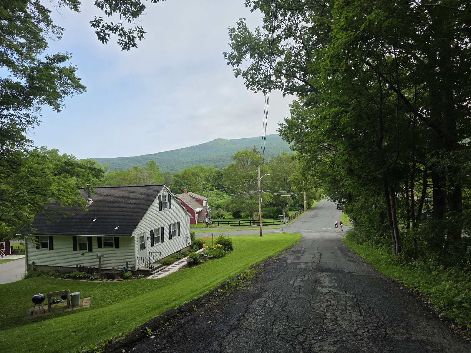
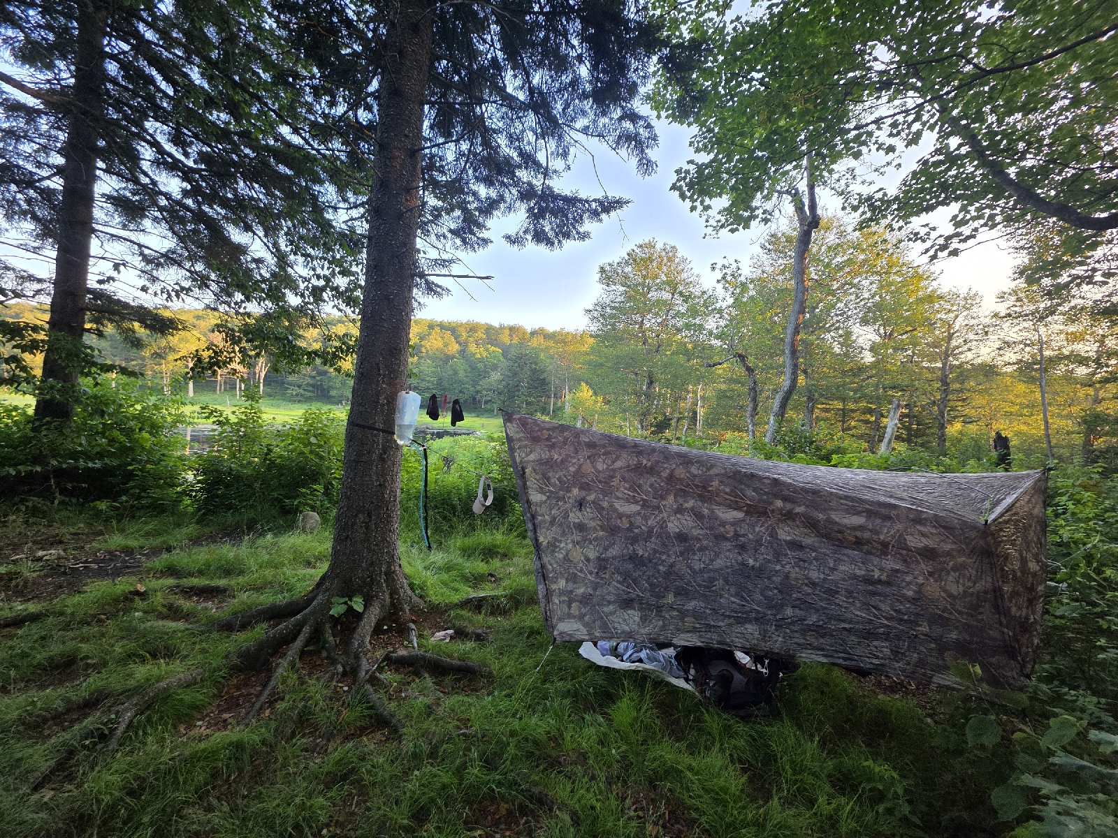
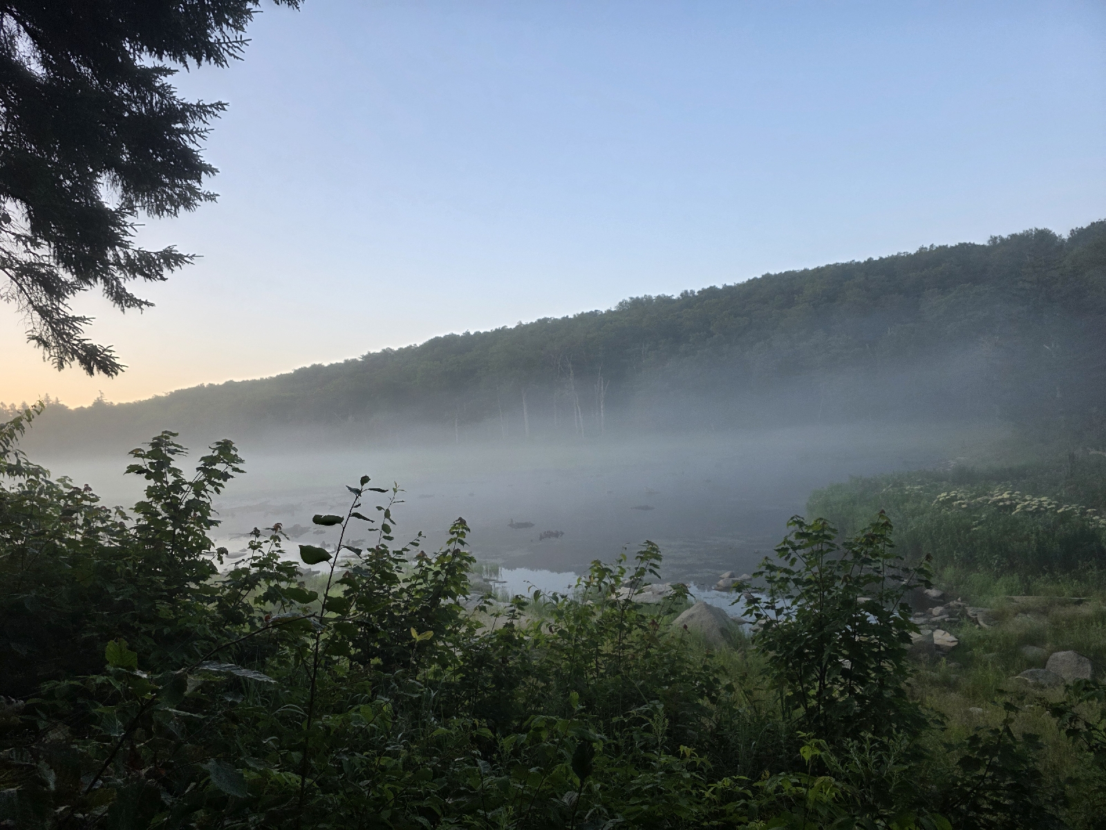
I woke at 5:30 and took my sweet time in camp packing, and I did not get on the trail till close to 7, which is very late for me. As much as I love camping near water, I don't love how damp everything is when I'm packing it up in the morning. On a bright note, the mist blanketing the pond is beautiful in the morning light. 

The temperature is about the same as yesterday, and humid with no breeze. I prepare myself for another blistering hot day.

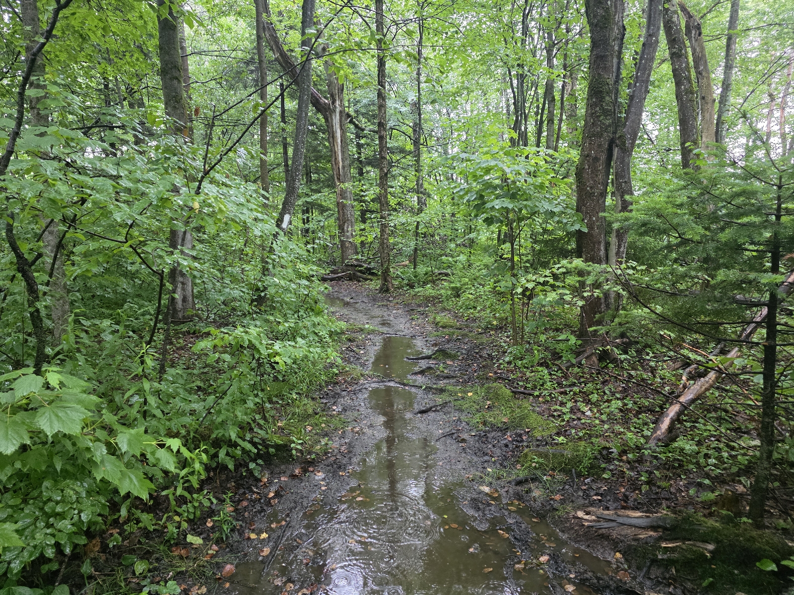
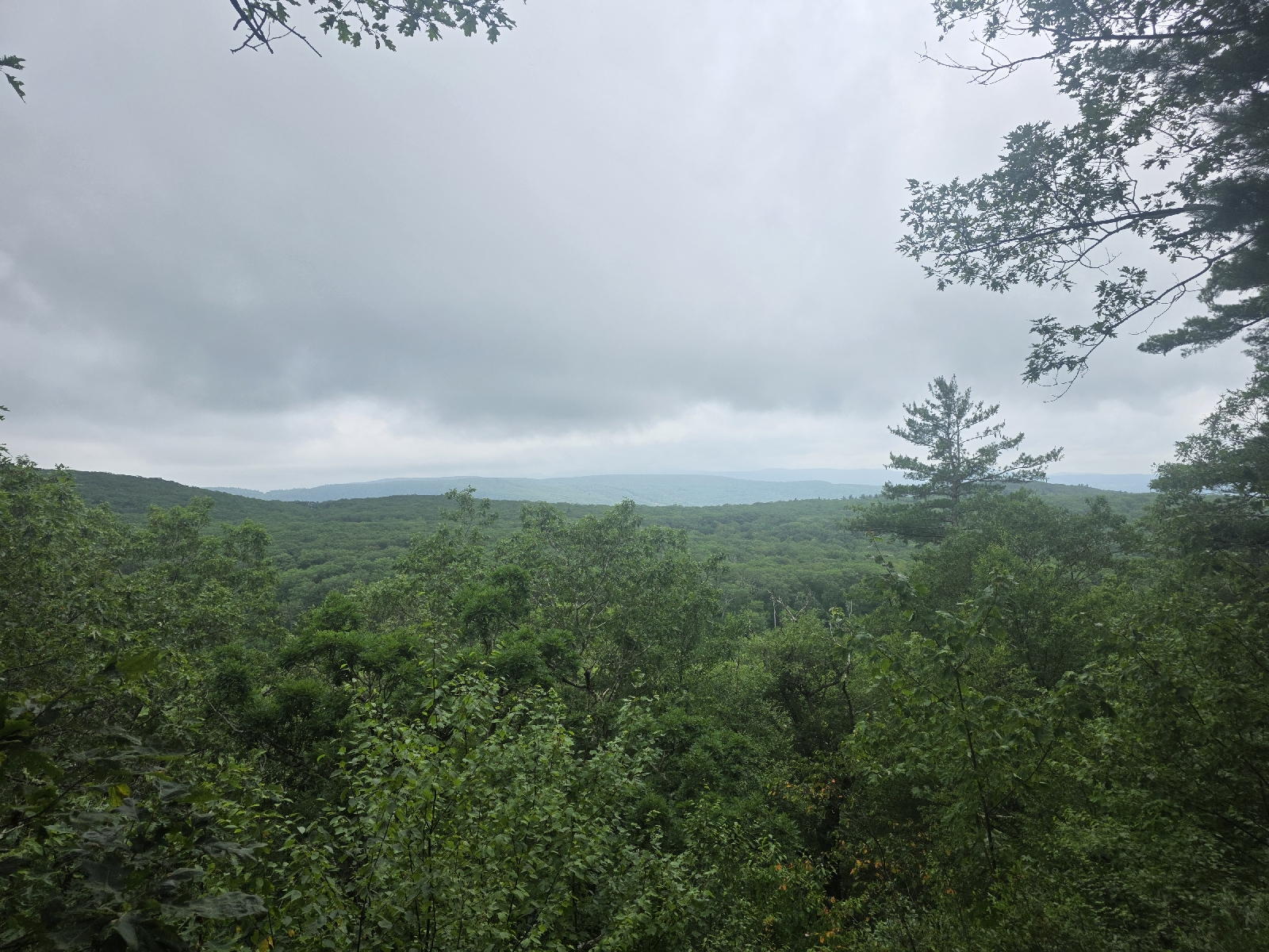
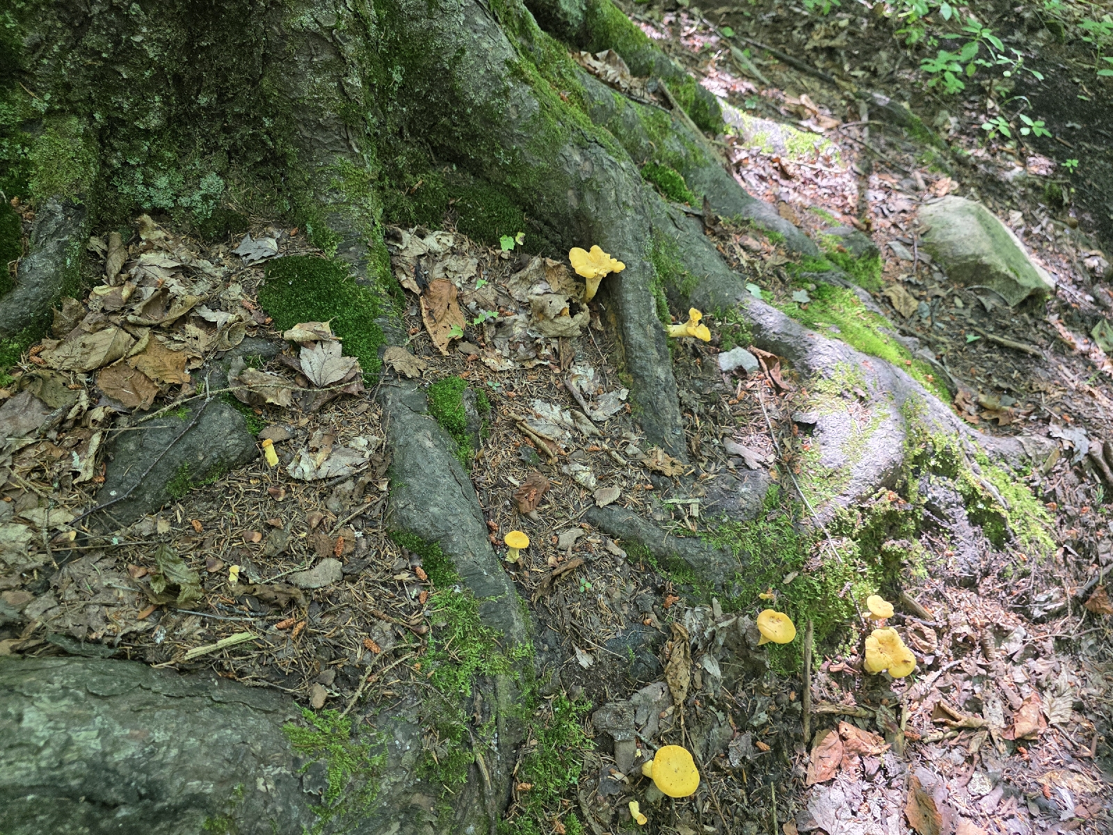
The hike starts out with the non-manicured, rough trail going over a hill for about 500 feet elevation gain over the next mile.  After a couple miles the trail actually opens up Into something resembling woods and not an overgrown mess liked I hiked through yesterday. The only time there are views is when I pass a beaver bog, as the rest of the time the vegetation is so dense I can't see more than 50 feet in either direction.

About four miles into my hike the trail travels next to a large, beautiful rocky stream for a quarter mile. I stop and filter some water. The water is very warm and brown. This must be more bog runoff, but it's okay because it's water! I take a little break and look at the map. I have 25 miles remaining to get to the Wicked Waystation to resupply. It's going to be grueling today, but I have to be in town tomorrow evening because I will run out of food otherwise.

The hike continues along the ridge and after a couple miles I pass the Congdon Shelter, which is vacant at this time of day. The woods around the shelter are thick with lots of side trails and I get a little bit turned around and have to hunt for the AT,  which ends up running behind the shelter. 

The hike up hill from the shelter is really rock strewn and muddy; it looks like a creek bed. The mosquitoes are really thick and I pass a couple of men with bug nets who are complaining about how bad the bugs are. They asked me if the mosquitoes are better down the trail and I remark that they are slightly better but not much. 

I take a break on the side of a forest road crossing to mix up and drink some electrolytes. I'm still sweating like crazy but I'm trying to stay on top of it today. My legs feel like lead weights! At least I'm not cramping very much at this point.

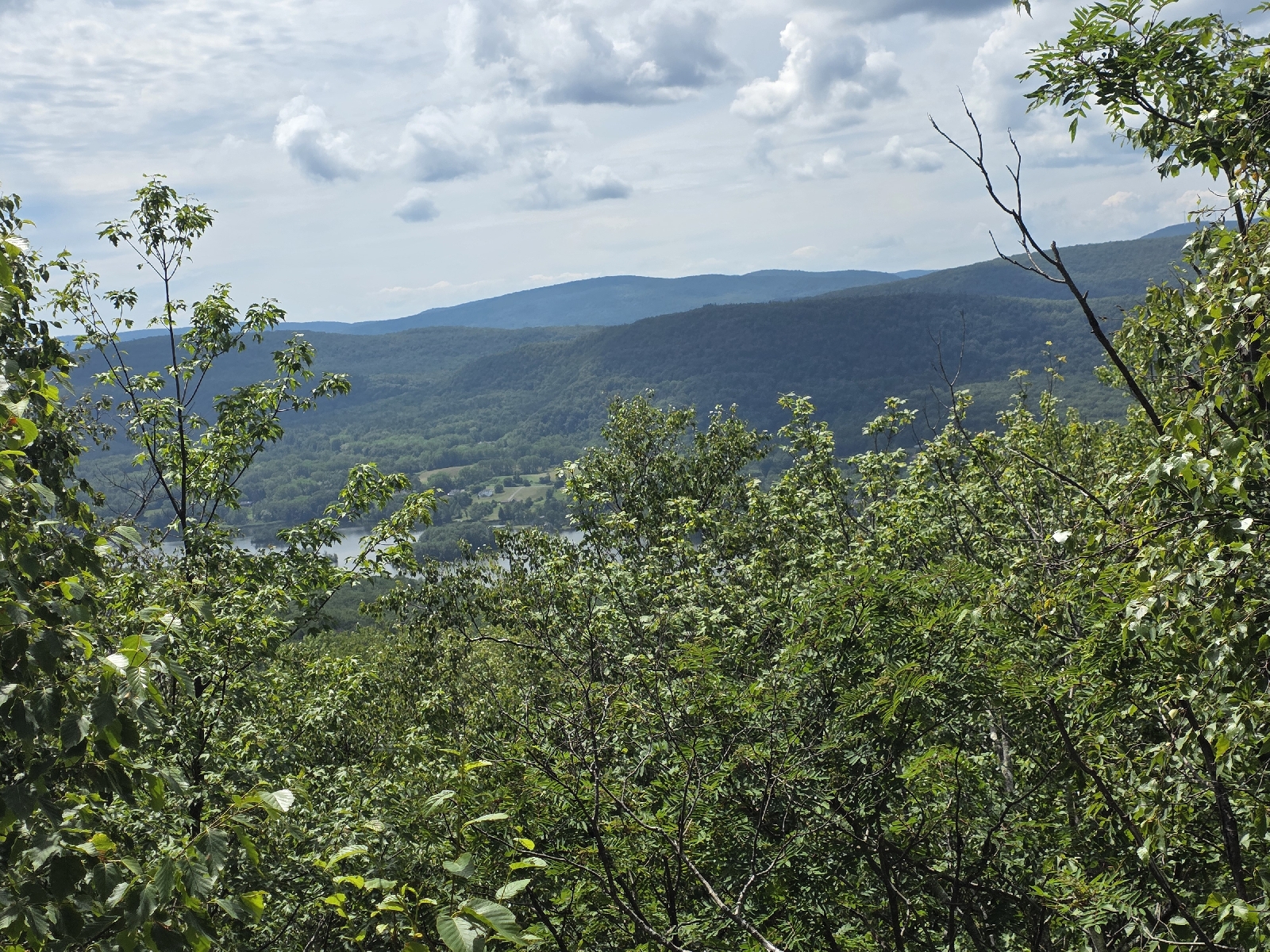
The trail emerges on to an amazingly beautiful opening on the ridgetop called Harmon Hill.  I would say it's a bald, but there are still little stands of trees spotting the landscape. The mountainside is thick with waist high ferns in every direction.  A view looks down on the valley to the west.  I perch on a rock and enjoy the view For a little while. The stuff breeze feeling delightful and even giving me goosebumps. 

I start down the mountain to the next pass. The trail becomes very steep and rocky, and while I am stepping down I'm noticing that my left hamstring is cramping. It starts as a little gnawing ache, but gets worse with each step. My body is revolting and needs more time to recover from my recent illness.

I sit down on a rock and consider my options. It's pretty obvious to me that at the rate I'm going I'm not going to make it to my next resupply point before I run out of food. Once I descend to the road and go up the other side there are no other road crossings for another 18 miles and about 6,000 feet of climbing. At this point it's really stupid for me to continue.

My only option is to get a ride at the next road crossing, but once I go down much further I won't have cell phone service. I can take my chances and get a hitch to Bennington,  or I can try to get a shuttle back to Wicked Waystation where my truck is parked and I can resupply out of the route if food I have there.  I consult FarOut and call a couple shuttle services, and finally get through to a taxi company out of Bennington that can take me back to the Wicked Waystation for $80. I arranged for the driver to meet me in an hour and a half, which is the earliest they can do.

The remainder of the hike down to Route 9 is knee punishing, with huge rock slabs forming steps down the steep mountainside. I am thankful for my hiking poles as I traverse the descent fairly easily. My hamstring which was giving me fits a little while ago has quieted, like a positive affirmation of my decision to get off the trail early.

At the bottom of the hill across the busy highway to the parking area. I have 45 minutes to burn so I walk down to the stream and take off my disgusting shoes and socks and soak my equally disgusting feet in the cool and clear water.  

Two hours later I am back at the hostel. I have decided that I've come too far to give up, and hope that the way I'm feeling right now is just a setback. I'm going to take it easy through Vermont and if I only can do 10 miles a day then that's what I will have to do. When I run out of time I will be done hiking the trail whether or not I make it to Katahdin. I can do this.

Today's Stats:  9 measly miles, 1,200 feet gain
Trail Stats: 1,618 miles,  314K feet gain


Appalachian Trail Day 136 - Wilbur Clearing Shelter to Beaver Bog Campsite (Mile 1596 to Mile 1609)

I wake up a few minutes after five. I slept so well last night. The temp was hotter than ideal for camping,  but I still slept with my top quilt most of the night, which is a first in over four or five weeks. I start packing as quietly as I can, but everyone went to bed so early that by 5:30 almost everyone in camp is awake and packing, even all the youngsters.

Meal Mode passes by my tarp while I'm underneath packing and I wish her "Happy Trails," and she reciprocates. Fifteen minutes later I am also on the trail. 

Leaving the shelter I have a 250 foot climb up to Mount Prospect Ledge, which is reported to offer a view of the Taconic Range to the west, which forms the border with New York.  I just get the barest peek of the town In the valley below, but the fog is still pretty thick this morning. 

The trail sharply descends from here, losing 2,000 feet for the next two miles to the town of North Adams. Near the bottom, I cross a stream which is more like a couple of shallow pools, and stop to filter water. It takes me a little while but I filter enough for the next few hours. While I am filtering,  Righty walks through and we chat before she moves on. I'm still filtering when Lefty walks by and we talk as well. They are so nice! I really hope I get a chance to meet up with them again.

Of course, right after I finish taking all that time filtering the water, the trail emerges onto a residential street in North Adams. I follow the white blazes with a few hikers in front of me and several more behind. A couple blocks further, near a school, I see many hikers congregating around a bunch of coolers in front of an Appalachian Trail kuosk. Only one thing draws the attention of this many hikers at once; Trail Magic!

Several coolers are lined up In a row. One is labeled with toiletries, two more with snacks, and the last is loaded with ice cold water. A woman who stocks the coolers Is chatting with the hikers. She says this is the biggest group she has seen at one time yet this year and asks for a group photo.  It looks like I'm in the bubble now!

I'm the only hiker that continues on the trail; everyone else Is peeling off to go to eat or to get a hotel room and get cleaned up and Nero for the day.

I call home while I hike through town and chat with my mom and dad who are doing very well.  Mom pulls up the Inreach map link for my location so they can see where I am while we talk. 

Once I reach the other side of town the trail starts to ascend and I look down to see a 1600 on the side of the trail! Only 594 miles to go!  I send a picture to our family group chat marking the accomplishment.  I say goodbye to my parents so I can save my breath for the arduous climb up the mountain.

The trail follows a gorgeous stream for the next couple of miles as I gain elevation. I stop about halfway up at a spring where the water is literally bubbling up from the ground; crystal clear and ice cold. Even though I should have enough water to get me to the top, I can't help but stop and filter some water for an ice cold drink.

The trail then goes up very sharply.  My heart rate keeps jumping up and I'm sweating like crazy. I stop to take one of many breaks on a rock.  A man passes and tells me his name is Flounder. He is from Israel and says he's glad to see he's not the only one needing to take a break.  I tell him I'm recovering from being sick and it's taking me quite some time. He says that he too is taking lots of breaks because he is also  been sick. We continue leapfrogging each other a couple more times.

The last ascent to the ridge is a rock scramble called The Rock Garden, which is absolutely not a garden, but ginormous boulders sitting in the hot sun. I am running low on water again; I can't believe I drank 3 liters already - I haven't even gone 8 miles! It is nearing 90° at this point.  Who would have thought Vermont would be this hot?

At the top of the rock scramble I am rewarded with beautiful view of the mountain I crested yesterday and hiked down this morning.  I don't need much reason to stop and take more breaks, so I am delighted to find lots and lots of blueberries which I stop to pick frequently.

Two more hikers pass me over the next mile and a half.  One of them is positively bouncing down the trail. I see her a short time later posing in front of a sign welcoming hikers to Vermont and the Long Trail, which shares the same path for the next 105 miles. She just started the Long Trail today, thus the bubbly demeanor.

I stop and take a picture in front of the sign and continue on to where a spring trickles across the trail a half mile later.  Flounder is there filtering water and a south bounder comes up to fill her water and chugs ferociously,  not coming up for air.  I mention that the FarOut comments state there's another stream a little further up, but she says she did not cross one. As she chugs another liter of water without stopping for breath. I drop my pack and prepare to filter water, which is going to take some time with this little trickle. Just then the other hiker shouts from further up the trail that there is more water. The poor girl must have been out of her mind with thirst and walked straight over the stream.  

Next to the stream, a large tarp is strung through the trees like a canopy. There are jugs of water on a large rock and a sign saying to help ourselves courtesy of the Long Trail Crew.  I take off my pack again and help myself to several cups of water mixed with electrolytes. I take an unusually long break and spread out my Tyvek sheet on the ground in front of a rock Where I lay down and elevate my legs. I'm noticing weird muscle spasms in both of my calves and my left arm. I guess I need more electrolytes. I'm worried I'm not going to have enoug water or electrolytes in this heat. 

After a good 45-minute break I decide to move on. I shoulder my pack and a mile later I come across a trail crew working on a side trail.  They are dressed in long sleeves and coveralls with hard hats and heavy boots. They're swinging long adzes and shovels and winching huge rocks with winch straps and trees.  It looks like insanely hard work in this heat and I realize I'm a little bit of a buttercup today I need to suck it up.

I am melting as I climb another 1,000 feet to a nameless peak with no view, fighting through a tangle of underbrush blocking the trail. I was intending to pass the next shelter 3 miles away and head to the one and another four miles from there, but I realize that's just not possible with the way I'm feeling. I'm dragging really hard and I really don't want to screw myself up for tomorrow. I have a sneaking suspicion that my sweating and electrolyte issues are related to my recent illness and it's probably going to take a little while to fix itself.

The Seth Warner shelter is on the other side of the mountain, but there is no water at the shelter area which poses a significant problem for me tonight. The next water source is only 0.3 miles away from the shelter at a beaver bog. The FarOut comments state that there is a nice campsite next to the beaver pond that is good for hammocks. 

I get to the beaver pond at 5:00 p.m. and load up on water and as promised a lovely little campsite sits on a hill next to the pond. It's early to be setting up camp by my usual standards, but the heat is whooping my booty, and I have zero energy.

While I sit up camp the herd of young people that were at the shelter last night walks by. They apparently went in town and then came back on the trail. A lovely young lady named Jupiter stops to chat and she gushes about how beautiful the campsite is.

While I sit here, surrounded by this beauty, I am reminded of why I am subjecting myself to such torture. I decide I am not going to like Vermont very much if the trail conditions are this horrible the rest of the way, but I am going to try and offset this by camping in the most beautiful places I can find.

I finish setting up and sit in my hammock to eat my dinner looking out at the dragonflies dancing over the water. The only thing that would make this absolutely perfect would be if a moose were to walk out into the pond.  

By 7:30 I am ready for bed.

Today's Stats: 13 miles, 3,494 feet gain
Trail Stats: 1,609 miles, 313K feet gain


Appalachian Trail day 135 Cheshire Massachusetts to Wilbur Clearing Shelter (Mile 1585 to Mile 1596)

With Dad safely returned home and doing perfectly well, and my headache and stuffy head improving,  I returned to Massachusetts yesterday. Rather, I drove to Vermont and spent the night at Wicked Waystation Hostel and arranged for a pickup this morning to return me to Cheshire, Massachusetts.

The day is cloudy with an 80 percent chance of showers and thunderstorms this afternoon. Currently the temp is in the upper 70's with a moderate amount of humidity, quite comfortable compared to the weather of the last several weeks.

The shuttle driver arrives at 8 AM, and I am sitting outside the hostel waiting for her when she arrives. I load up and we start the hour-long drive down to Cheshire, and I get to enjoy the beautiful scenery on the way. 

Around 9:30 I am on the trail and heading north. The trail first takes me through the town of Cheshire, notable for a huge wheel of cheese gifted to Thomas Jefferson in 1802. As soon as I pass out of town I immediately start climbing toward Mt. Greylock.

The climb Isn't too strenuous except in a couple places where it's rather steep. I just plod along, enjoying the beautiful weather and the occasional breeze through the trees.

I am taking a break when a woman who is about my age passes me and we talk briefly. Her name is Righty and her husband's name is Lefty and they are accompanied by another hiker named Awkward Silence, both of whom is behind us.  She is really nice and I hope I get to catch up with them because they sound like a lot of fun.  I pass her about a mile of the trail and we chat a little while longer. 

The hike up to the Greylock Summit is uneventful and only takes a few hours. It's really hot and I am gushing sweat, sucking down an entire three liters of my water. I am completely out of water now,  but as I approach the summit I come out on a service building that has a water spigot labeled for drinking water. I go ahead and fill up my water bladder because the rest of my hike today is downhill, and it's only another three and a half miles to the next shelter.

The trail emerges into a beautiful open bald on top of Mount Greylock, the highest point in Massachusetts. A gorgeous tower memorializing Massachusetts war veterans towers over the bald, which is encircled by hiking paths. 

From a vantage on top of the summit I can see more than 180 degrees.  A sign details the names and locations of peaks and points of interest. To the southeast I can see the direction of the Connecticut River Valley, and to the north I can see Mount Snow and the area in which I will be hiking in the week to come.

The view also affords me the site of darkening storm clouds building on the horizon.  As a result, I don't dawdle and instead continue my journey, hoping to make it to the next shelter before the rain starts.

The hike down from the summit offers some brief but beautiful glimpses of the valley.  The trail is becoming significantly rockier as I descend, and I am thankful the rain holds off. 

I pass several southbound hikers who hike with the ease of thru hikers and I exchange pleasantries with one of them,  who confirms they started from Katahdin early last month.  I am so excited to see them. There is going to be a lot more people on the trail for the next month. 

I reach Wilbur Clearing Shelter by 5 PM. The shelter tent platforms are empty,  and I descend to the shelter to check it out,  considering staying inside. When I arrive,  I see the shelter is inhabited by a woman.  Her name is Meal Mode, and she was the very first hiker up The Hunt Trail to Katahdin when it opened for the season May 31st! 

I prepare my dinner as we talk about trail life. I've decided to set up my hammock, as the shelter is a little stuffy in this humidity, but with the chance of rain,  I decide to wait a little while, figuring that if a rain passes through,  I can wait it out in the shelter. 

30 minutes later, hiker after hiker arrives, and soon the two of us are propelled into setting up our camps, as the campsites are quickly becoming claimed by the arriving throng. 

Soon there are at least 15 people camped out, all of which are thru hikers. I have not seen this many people in one campsite in years. This definitely must be the bubble, although several hikers remark that there are many people still in the Harpers Ferry area.

I retire to my hammock at 7:30 PM, thunder rumbling to the west, and as I am getting ready for bed,  I realize that this is the first time in over a month that I'm not getting swarmed by mosquitoes! As a matter of fact,  they're are no buzzing insects at all. 

The one thing that's bugging me is muscle cramps. My feet are cramping, as are my calves, quads, and even my fingers. I lost a ton of fluid today, and thought I hydrated appropriately,  replacing my electrolytes four times with Nu'un tabs,  Liquid I.V., Scratch, and EmergenC. I also eat a lot of salty snacks throughout the day.  But I can't even take off my socks without my toes cramping painfully. 

I am getting tucked into bed when the first raindrops start.  The temperature has cooled off, and I am looking forward to a long night's sleep. 

Today's Stats: 11.3 miles,  3,270 feet gain
Trail Stats: 1,596 miles,  310K feet gain

Appalachian Trail Day 134 - Washington Mountain Road to Cheshire, Massachusetts (Mile 1556 to Mile 1585)

I slept really well last night, until about 3:30 AM, when my stomach started grumbling again, but overall I feel much improved. I try to go back to bed for a little while and sleep restlessly until I get up at 5 AM.  I think I am okay to hike today, but figure the true test of whether I am trail ready is to see if I can eat something without any ill effect, so I pull out the lemon chicken piccata that my dad picked up from the grocery store last night and pop it into microwave. I don't feel very hungry, but I find the dish very tasty and it sits well In my stomach. Guess I am good to go!

I get up and start packing, readying myself for the day ahead, and 7 AM I am deposited back on the trail where I got off yesterday.

Rain came through this morning and it is starting to taper off, but there's enough falling that I pull out my umbrella.  The temperature Is mild and the forecast Is for a moderate level of humidity, lower than the last several days.

For the first few miles the trail is muddy but delightfully easy with gentle undulations through a hemlock forest. I reach the next road crossing only an hour after starting out, thinking I easily could have done this yesterday, even with my twisted guts and inadequate nutrition,  but I'm still glad I got off when I did.

The miles peel off with ease, and by 10 AM I've done over seven miles. I cross a road and then cross Barton Brook. The brook looks like it could be a raging torrent in heavy rains, but right now it's just a beautiful babbling stream.
The trail so far has been well a maintained and easy dirt track. But I am starting to notice a trend that the rocks that have been a constant pain in the neck from Pennsylvania through Connecticut are now being replaced with roots. I have to keep my eye on the trail because the roots are everywhere.

I descend into the town of Dalton, where I cross railroad tracks and follow the white blazes straight onto town. I'm walking down the street lost and thought when I hear someone saying "hey hiker!" I look up and see Persuasion and K2 sitting on the porch of a house. I did not look very carefully at the map, but I realize I'm in front of a hostel. 

Persuasion tells me this is the home of a famous Trail angel named Tom Lombardi. I climb onto the porch and take an available seat without taking off my pack to talk to them. I mentioned that I felt awful yesterday and had to jump off the trail early, and Persuasion states that she's bailing on her through hike temporarily. She's waiting on a ride to go home to Maine so she can get some lab work and tests done. She doesn't know if it's Lyme disease, but she said she just can't continue feeling like this. 

I say goodbye and head up the street. The trail walks through town for a couple of miles and takes me past a gas station where I go in and buy a cold drink.

The sun is shining when I leave town and a light breeze is blowing, with a temperatureof about 80°F.  This is how a summer day in New England is supposed to be, not the sweltering humidity of the previous four weeks.  Upon leaving town I re-enter the shade of trees towering overhead with dappled shining down onto the trail, picture perfect.

The climb up Crystal Mountain doesn't afford many views, except for a very picturesque pond dotted with water lilies and bordered by cattails. This is duch a serene and beautiful place. I would love to sit here for some time, but I only take time for a few pictures. 

I cross the mountain and start down on the other side. I've gone 15 miles and still have a few to go, and I feel really energized, like I could hike much farther. I cross a stream and see a gentleman gathering water into a Gatorade bottle and drink it straight from the source. He introduces himself as Deer Stalker from Britain. He just jumped ahead from the Washington Monument at Gathland State Park in Maryland and today is his first day in New England. He looks like he is positively melting in the afternoon heat.

He tells me about how he got off the trail and attended the 4th of July festivities in Gettysburg. He seemed quite impressed with the parades and fireworks, and says "I love America!" in a such a genuine way.

I come down from the mountain and onto Furnace Hill Road heading into Cheshire, Massachusetts. It is 3:15 and I've done 18 miles in 8 hours, with three thousand feet of vertical gain.  I'm meeting dad at an ice cream shop right on the trail in the middle of town. 

When I walk up to the ice cream shop,  I see my dad has the liftgate open and he is talking to two hikers, doling out trail magic of Powerades and snacks.  Zen is one of the hikers, and the other is named Marsupial (because he wears a front pack in addition to his backpack).

Dad says he is really dragging today and one look tells me he isn't feeling well.  Zen tells me that dad's leg gave out while he was trying to use the facilities at the nearby hiker campground. Thankfully Zen was there to help him get up and get back to the truck. I see Dad shuffling around the vehicle holding on for support and I suggest he has a seat at the picnic table while I get him a milkshake, worried his blood sugar may be low. 

He sips on the milkshake but says he's worried something's going on with his head neurologically. I walk him back to the car and ask him if he knows the date. 

He responds "I just looked this up, it's June." 

Nope, it's July. Now I'm worried. He doesn't typically get mixed up like this. I see that the nearest hospital is only 8 minutes away, and on the way there his condition slowly deteriorates. He starts slurring his words and he is speaking very slowly and deliberately like he's trying to come up with the right things to say.

We arrived at the emergency room and I grab a wheelchair. I wheel him inside and I am telling the registrar about his weakness, slurred speech, and inability to recall the date, explaining that this came on suddenly and is very unlike him. A nurse hears our conversation and immediately comes over and wheels him back to the triage area. He is unable to give his name and date of birth at this point, and I am so worried. These are all hallmark signs of a stroke.  

The staff is amazing. They jump in and insert an IV and grab his labs while he's getting registered which only takes a couple of minutes, then the nurse wheels him back to the trauma area. 

A bevy of nurses, techs, and doctors cram into the small room, and within minutes he has an EKG and a chest x-ray. 

Another doctor comes in and talks with him, and he has difficulty with recall but he is able to enunciate now without slurring. About 10 minutes later he is yucking it up with the staff and joking around with the doctors and nurses; just like that he is back to normal.

All the tests so far come back negative and they are going to keep him overnight for observation just to be in the safe side. I go back to the hotel to collect some of his belongings and return to the ER, where he is waiting to be admitted. 

More doctors come into the room to admit him, and he insists I go back to the hotel knowing that he is out of the woods (pun not intended!). Right now the doctors think it could be related ro a viral infection,  which would explain the weakness and confusion.  He has reported some sinus congestion and a scratchy throat the last two days, but he thinks it attributable to allergies.

I return to my hotel room, and I am dead tired.  By the time I shower it's after nine o'clock, and I feel like I've been up for days. The adrenaline rush of thinking that he was an imminent danger is replaced by an overwhelming feeling of exhaustion. 

I'm climbing into bed and getting ready to give him a call to say good night when a text comes through on our group chat with our family. Dad lets everyone know that his covid test was positive. I am actually more relieved now knowing that there is a reason for his behavior. I give him a call and he says he is comfortable and will keep me posted.

I'm so glad he is okay! The trail can wait!

**update** So not only does he have Covid, but he did have a stroke. Thankfully he has no residual problems,  and he was discharged from the hospital the next day,  when we left directly to go home. 

I developed symptoms en route, so I'm happy to convalesce at home as well.  

Today's Stats: 18 miles,  2,650 feet gain
Trail Stats: 1,585 miles,  307K feet gain 

Appalachian Trail Day 133 - Upper Goose Pond Cabin to Washington Mountain Road (Mile 1555 to Mile 1566)

Last night I slept fairly well, but I was awakened several times by a really terrible odor. I think there's an animal crawling around outside of my tarp. I can't hear it, but I can smell it. It's a foul odor; very musky with a little bit of rotten meat mixed in.  I'm terrified it could be a bear, although it may be something as benign as a raccoon or possum. I take out my headlamp and shine it around and say firmly "if you are a bear please go away." I end up having to do this two more times throughout the night. Whatever it was went away for good and I was able to fall back asleep for an extra few hours.

There is not a flurry of activity this morning around the cabin. The vibe is very relaxed, and no one is in a big hurry to get back on the trail. John makes a huge pot of percolated coffee, and he is flipping pancakes for anyone who wants them. I accept the coffee but decline the pancakes, as my stomach feels a little off.

I am packing up my camp when my stomach clenches. I run for the privy that is thankfully very close to my hammock, and make it just in time to avoid disaster.  I wash my hands thoroughly with dish soap next to the dishwashing area, hoping it was a one time occurrance, but my stomach still feel upset. 

I chat for a few moments with the other backpackers around the picnic table. I thank John and his wife Kathy for being wonderful hosts, and use a QR code posted next to the picnic table to leave a donation to support the cabin.

I shoulder my pack and leave the lovely respite, so glad I made it here,  but with the regret I couldn't stay and relax longer. I depart the cabin by 7:30 AM, ready to seize the day. 

Unfortunately the only thing that will be seizing today is my stomach. I make it a mile before I have to drop my pack in a hurry and run into the woods, barely having time to squat behind a tree.  I am perilously close to the trail, and I pray that no one walks by or they will see me in all my glory. 

Fortunately,  no one comes by.  I hope that my body can rid itself of the bad cooties quickly, but dehydration could be of huge potential problem today. I chug a lot of water while hiking the two miles to meet my dad at the next road crossing.

I near our predetermined meeting spot, when I see Dad on the side of the trail. He walked in a little ways to meet me. We walk together back to his car, where he gives me a breakfast sandwich. I eat it unenthusiastically, knowing that I need the nutrition, but my stomach is getting more unsettled by the minute.  I think the cheese I ate last night was the culprit for my current situation. 

We discuss our meeting spot and I consult the FarOut app. My preferred pickup point is 16 miles up the trail, but there are many other road crossings prior to that if I have to bail on my hike today. I pack extra baby wipes and a Powerade while Dad fills up my water bladder to the brim with three liters of water from the 5 gallon carboy we brought for this purpose. I grab an extra pair of shorts and a plastic bag in case of am accident. 

Digestive upset is very common on the trail; long distance hikers carry a lot of food that probably shouldn't be carried into the wilderness without the benefit of refrigeration.  Hikers frequently pack pizza, hoagies, and even rotisserie chickens into the wild after a town visit. 

My favorite is cheese,  which I have carried for days and eaten successfully without issue for my entire life.  Lately, my appetite has increased so much I have eschewed individually wrapped portions in favor of larger packages of slices.  I guess I must go back to the tiny, pre-packaged portions to prevent this from happening again. 

Armed with everything I need for the day, I say goodbye and head up the trail which, of course, goes straight up the mountain. I am able to make it two miles before I have to stop again. 

The trail on top of the ridge is beautiful and peaceful. I am so thankful that if I'm going to be stricken with a malady, it's on this stretch of trail, which, after the initial climb, is the easiest elevation gain I've had in the last couple weeks. 

I plod along, taking it easy because I don't think I can eat anything,  and I don't want to bonk; that terrible situation when one's body gets depleted of glycogen stores, caused by inappropriate fueling during physical exertion. I sip on the Powerade and take frequent sips of water. After two hours I eat an apple, and although my stomach turns a little in disagreement,  it sits fairly well, even though I have to make another quick trip into the trees.

I stop by a pretty stream to find another hiker there filtering water. His name is Grave Digger, and he is from Germany, trying to thru hike the trail before his visa expires in mid September. He made it to Harpers Ferry, but due to the intense and unrelenting heat of the Mid-Atlantic, he flipped up to Massachusetts, hoping to escape to cooler climes. Today is his first day back on the trail, and he comments that he wishes it were cooler here. I tell him that the last two weeks have been crazy hot here as well.

I continue on the lovely trail and have my head down, focusing on my footsteps, listening to music, trying to distract me from my misery. My waste pack is extremely uncomfortable sitting against my stomach, and I consider stopping and taking it off and putting it inside my pack since I can't eat anything in it anyway.

I see a movement out of the corner of my eye and turn to see that I am face to face with a decent sized black bear less than 15 feet off the trail. 

Adrenaline kicks in and my first thought is to look around to make sure that there are no cubs behind me. At the same time I stand up tall and start to raise my poles to look as big as possible, as black bears have poor eyesight and will not challenge something they believe is bigger than they are. 

The bear sees me and literally jumps a foot off the ground. The bear then jumps behind a huge oak tree next to him, and clings to the side of the tree, peering out behind the tree from the other side. He instantly thinks better of climbing and jumps down and runs like a bolt of lightning in the opposite direction. 

The entire interaction lasted perhaps 30 seconds. I have no idea which one of us was more startled.  In retrospect I think it may have been the bear. The poor thing is obviously scared to death of people, which I am glad for, not only for my safety,  but for the security of the enigmatic creature.

A scared bear means that it's less likely to try to interact with humans and less likely to cause damage to property and eventually loss of life, either for a human or for the bear. Usually the interactions start out relatively harmlessly, with hikers leaving their food unattended. A morsel here and a scrap there habituates the bears to the availability of food when a human is around.  The next thing you know the bear is going into campsites and even inside of shelters to score an easy dinner.

I am shaking from the encounter yet also exhilarated. This was definitely the highlight of my day so far! Unfortunately the whole thing happened so fast I could not get any pictures, but I'm glad that the beast skedaddled so quickly that I couldn't even reach for my phone.

About a half a mile later I see something I have never witnessed before on the trail. A poster board announcing Trail Magic just ahead! The poster board is decorated with tiny multi-colored blinking lights. 

Fifty feet later I emerge onto a gravel forest road and see a red Tesla next to a net-enclosed camping pavilion. A man stands up and tells me to grab drinks and snacks from two coolers in front of the tent.  I take a Gatorade but decline the snacks, and sit inside the tent on a camp chair, protected from the mosquitoes.

Grave Digger comes by a short time later,  and we chat for a while.  The gentleman has a guest book,  which I sign before getting back on the trail,  grateful for the wonderful Trail Magic. 

An hour later,  I try to eat some Cheetos, one of my guilty pleasures on the trail. I love them and figure the salt would be good for me. All I have eaten today is an Egg McMuffin and an apple. I eat a handful and within minutes I regret doing so. My stomach is lurching. My goal was to hike 15 miles today, but don't think I can do this for another six miles, especially as hot as it is.

 I decide I am done for the day. I pull out my phone and see the next road crossing is two miles ahead.  I call my dad and tell him I'm pulling the plug on my hike and going to get a hotel room tonight.  He is available to come get me, and when I emerge onto Washington Mountain Road 45 minutes later,  he is already there waiting for me.

The ride back to Pittsfield is short, and 20 minutes later I am in my hotel room. Dad takes my dirty clothes to a nearby laundromat to clean them while I shower. I really enjoy being pampered like this! 

We talked about going out to dinner but I really don't think I can stomach much, so he drives to a nearby grocery store and picks me up some tomato soup and microwave ready lemon chicken piccata. I warm up the soup and it sits very well, but I will save the piccata for breakfast tomorrow. 

We hang out together in his room for an hour before I retire for the night. I can barely keep my eyes open and at 8:00 PM I am out. 

Today's Stats: 11.2 miles,  2,028 feet gain
Trail Stats: 1,566 miles,  305K feet gain

Appalachian Trail Day 132 - Ridge Top Campsite to Upper Goose Pond (Mile 1,532 to Mile 1,555)

I couldn't fall asleep for quite some time last night. The last time I looked at my watch was 9:43 p.m., and I woke with first light since I forgot to pack my buff.  Nature's alarm clock had me up and moving at 5:10 this morning.  Although I could have used another hour or two of sleep, I feel pretty good this morning. I pack up in the pre-dawn light, and I'm on the trail at 5:50.

I look ahead and set up a meeting point with my dad 4.7 miles up the trail in two hours, which should be reasonable considering that I am ridge walking this morning.

The trail meanders up, down, and around large rocks in a burned out hardwood forest. I pass a couple views, but the haze is thick this morning. At 6 a.m. it's already 75°F, and today promises to be hot, with a solid chance of thunderstorms this afternoon, so I plan on making as many miles as I can this morning.

Two miles into my hike, I pass the Thomas Leonard Shelter and can hear the chatter of people packing up for the day.  I'm glad i didn't try to push here last night in the dark. The hike here wasn't bad in the light of day,  but it could be treacherous at night. 

From here the trail becomes mature hemlock woods once again, and the descent is quite easy for the next mile and a half. I pass by a beautiful rocky gorge with lots of moss covering the rocks, and ferns everywhere. 

Less than an hour later I cross two roads and see my dad parked in a parking area beside Massachusetts Route 23. I get up to the car and drop my pack on the ground. He hands me a Mcdonald's breakfast sandwich and leftover teriyaki chicken and broccoli from the day before, and I eat both greedily. I empty my pack of everything I won't need today, fill my water bladder to the brim, and grab food for the day plus a Powerade for good measure. 30 minutes after arriving I am back on the trail heading north.

The temperature Is getting quite hot and muggy, and with no breeze, and temps of the 80s with this humidity, I am dripping with sweat. i keep wondering when this hot weather will break. But I would rather deal with heat than rain or cold.


The trail rises steeply for 500 feet And then levels out at it travels around Benedict Pond, a shallow man-made lake that has a walking trail around the perimeter. 

I cross a lot of bog bridges through this section. I can't imagine how wet and mucky this area must be after rain. 

Leaving the pond,  the trail climbs through a forest of beautiful hardwoods with lots of waist-high ferns carpeting the understory. The birds are chirping lazily and I pass a few day hikers with small backpacks, out for a stroll around the lake.

My hike is on the ridge top for the next four miles. There are few things to see up here except for the pond below, but it's still pretty. 

I pass the two Wilcox Shelters - two separate shelters a couple miles apart - and I'm pleased to see a couple of streams. I'm doing okay on water, but I stop to splash water on my arms and legs. The water is not very cold but it is refreshing nonetheless.

I stop for lunch on the side of the trail before descending for the next mile-and-a-half down to a stream near the community of Tyringham. The trail then turns sharply uphill and for another mile I go up and over the ridge for an okay view.  I don't really see the point of the climb; just another PUD (pointless up and down). I look at the FarOut comments and see that many other hikers feel the same.


The trail comes out at Jerusalem Road and a short walk down the road Is a trail store, which a small shed outfitted with a refrigerator and Wi-Fi. I don't stop because I'm on a mission; I'm meeting my dad in another 1.5 miles to gather my backpacking kit. I've done 16 miles and I'm not really sure where I'm going to spend the night, so I will meet him at the last road crossing before I head up towards Upper Goose Pond.

I sit in the air conditioning of his vehicle for a moment, enjoying the cold air for a few minutes, but feel the need to get back on the trail because I want to get settled before dark tonight. I load up my pack with three liters of water, a Powerade, and refill my bear canister before shouldering my pack and bidding dad goodbye until tomorrow. He is staying at a motel in Pittsfield, and as I travel north I am getting closer to his location. 

The next section of the trail entails a 1,000 foot climb over the next couple miles. This is probably one of the few times since Pennsylvania that I haven't had a super steep and straight uphill. The incline cuts across the side of the mountain on a groomed trail, for which I'm thankful because I am hot and getting a little worn out. I do have to stop a few times to sip some water and catch my breath.


As I near the top another hiker comes up behind me. His name is K2 and he is through hiking. He started in mid-march, and told me he's putting in a long day because he was going to stop at the last designated camping area, but when he read through the trail register he noted reports of recent bear activity in the campsite, so he I elected to continue on to Upper Goose Pond. I tell him my name and he said he has seen it in the trail registers.

I make it to the top of mountain at 5 PM, and I am pleasantly surprised to see that I have maintained a two mile per hour pace,  even with a fully loaded pack and after 19 miles. At this point I am five miles from Upper Goose Pond  and even though I'm tired and I've slowed down a bit, I think I can easily make it before dark. 

Upper Goose Pond is a mecca in the wilderness for hikers, with a donation based cabin perched on the edge of a scenic pond, with canoes and a small beach for wading. It's considered a must-see stop for hikers,  and if I have serious FOMO, so I push on, even though i pass several spots where I could set up my camp. 

The hike is going well; the trail is easily navigable and the rocky sections are very short. I develop a deep ache in the sole of my right foot causing me to limp on occasion.  The way it's coming and going I'm wondering if it's nerve pain.  I really hope that I don't screw myself up doing this many miles today, which may make hiking more difficult tomorrow.

One mile from the pond, K2 passes me again. Im surprised tobsee him again, imagining he would be there already. He tried to do a shortcut but he had to turn around and come back to the trail, so he just got an extra bonus mile.

I am slowing down considerably, minding every step I make to keep from hurting my feet any further.  The sun is starting to set when I make it The cabin period. There are About 10 people milling about  around covered picnic take behind the cabin. John, the caretaker, greets me warmly and tells me that I can make myself comfortable In the bunk room or go to one of the tent platforms to set up for the night. I tell him I have a hammock and he tells me to pick any two trees that are suitable.

I get set up and join the group at the table.  People introduce themselves but I am so exhausted I know I won't remember any of their names tomorrow. All I want is some nourishment and to clean up and go to bed. 

I grab some cheese and crackers from my bear can, and munch on my light dinner while talking with the other hikers. They obviously know each other very well,  and I enjoy listening to their banter. I want to make more of an effort to stay at the shelters for the remainder of my hike so I can get to know some other hikers. 

The light is waning and several hikers retire to the bunk house, while others retreat to the front porch. I go down to pond, where I wade in at the little beach. The water is cool and refreshing, but not overly cold. I would love to stay in longer, but I need to get to bed. I get out walk back to my hammock and I am immediately drenched with sweat from the humidity. 

I put the finishing touches on my camp and jump into my hammock while getting attacked by mosquitoes. I lay there for a moment just enjoying being still. Today was the longest day I have ever hiked in my life; over 25 miles with the side trail to the cabin, and 6,000 feet of elevation gain!! I ache and cramp all over, my muscles will talk to me tomorrow,  for sure. 

By 9:20 I am out.

Today's Stats: 24.6 miles, 5,960 feet vertical gain
Trail Stats: 1,555 miles, 303K gai