

I putter around my camp, putting away what I can without disturbing my neighbor, when I decide to get my food bag out of the bear box in front of the shelter and grab some breakfast.
There are two men talking at the shelter. One stayed in the shelter and the other camped out. I join their conversation. The one who stayed in the shelter is named 5 Lives because he has cheated death that number of times on the trail. In one instance , he had Norovirus so bad it caused a seizure and a heart arrhythmia. Then he walked through a patch of woods that caught on fire and he made it out after it became an active forest fire. Another time he was almost struck by lightening.
The other gentleman is from New Jersey. He backpacks the area frequently and stays here often. I am looking through the logbook and see a familiar name. Martian signed it earlier in the month. The man says he talked to Martian and more recently Babysteps! I hope I can catch up to a familiar face.
Kelly wakes and joins us. She said it poured all night, but i didn't hear a thing, I slept so soundly.
I need to finish packing so I leave them to chat while I go back to camp to cram my soaking wet gear into my soaking wet backpack. This is the worst part of camping in the rain. Everything is wet and doesn't dry out, which means the contents of a pack becomes quite ripe, especially when the temperature rises.
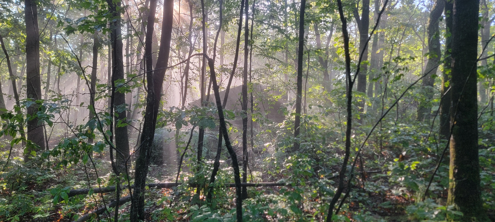
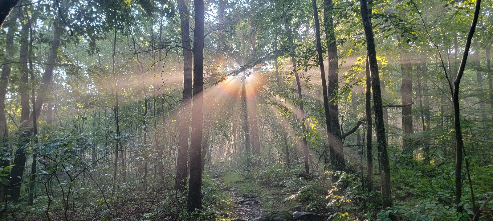
Even with lollygagging, we leave camp at the respectable time of 7 am, just as the sun is starting to backlight the tree canopy, the rays of sunlight penetrating the leaf cover and making the raindrops sparkle.
Surprisingly, the mosquitoes aren't too bad this morning. 5 Lives said he had to cover himself in deet last night to prevent an all out attack. Unfortunately, our joy is short lived, because we get dive bombed as soon as the sun rises above the trees. This time I am prepared, keeping the bug spray close at hand, and I don't even have to stop and take off my pack.

Two miles into our hike, we make a very steep but blessedly short climb and walk by a rock ledge with a beautiful view of Lake Rutherford. The water sparkles in the morning light.

We leave the nice view and the hike takes us over some really rocky areas and one that required me to use my hands to climb down.
Drenched with sweat and bug spray, we soon we come to a trail junction at High Point State Park, aptly named for being the highest point in New Jersey. We veer off the AT to a nearby parking lot where we have a car parked. We will reposition our vehicles and then come back and slackpack another 6 miles.

Two hours later, we return to the Appalachian Trail, which follows the Kittatinny Ridge toward the High Point Monument. Built in 1928, the monument is dedicated to New Jersey's veterans.


On the way to the monument, the trail runs beside a viewing platform with amazing views of the 220-foot tower. The AT veers away from the tower, but we take a short side trail to the monument. Kelly is working on visiting the high point of every state, and after this she will have 22 high points collected.
Kelly takes the narrow circular stairs to the top while I check out the signs on each side of the base, which shows what mountains, towns, and states I see from the vantage.

Looking out at Sunrise Mountain, some really dark clouds are dumping rain on the spot we ate dinner last night. Checking the radar, it looks like a thunderstorm is moving this way.
Kelly comes out and we start down the ridge. The storm ends up narrowly missing the park, and instead unleashes some heavy rain and wind just to our east.

We start hiking fast down the ridge, as more storms are expected in a couple of hours, and we have another four miles to get to the car.
Most of the next four miles of trail are the easiest I have yet to experience on the trail. After descending on wide switchbacks down the ridge, the trail remains relatively level as it winds through fields and residential woodlands criss-crossed with numerous small streams.

The streams we cross saturate the ground at each crossing, causing some very mucky areas. Stepping stones are arranged so hikers can rock hop across the mud, but I still manage to step in some deep mud and my legs are disgusting with mud and grit and rivulets of sweat.
We leave the bottom lands behind, but not before passing a small pond and crossing over mushy ground that is bordered by cattails. I show Kelly how to pull the inside of the cattail leaves out of the center so the tender inner leaves aren't contaminated by the water. I munch on the white bottom, which tastes like cucumber.

My need for foraging slightly mollified, we descend the last 50 yards to her car. A small covered stand holds a spiral notebook for hikers to sign. Kelly walks ahead, and I stop to look through the recent entries and see that Terminated, Grit, and Ladybug signed the book only yesterday!
I sign our names and walk to the car, eager to tell Kelly that we are closing in on some of our hiking buddies!
We drive to a nearby hotel, excited for a shower and clean clothes. We explode our disgusting smelling packs all over the room so the saturated gear can dry out.
Good night!
Today's Stats: 11.3 miles, 1,184 feet gain
Trail Stats: 1346 miles, 264K gain
No comments :
Post a Comment