Life on the trail strips away all the "normalcy" of the modern world. Without the intrusions of TV screens and artificial light, our circadian rhythms have adjusted to the natural world around us. Mother Nature has a volume knob she progressively turns to zero as the sky darkens, and slowly increases the volume again with the next morning. Similarly, hikers go to sleep when it gets dark and wake up with the sunrise. Just another critter in the woods...
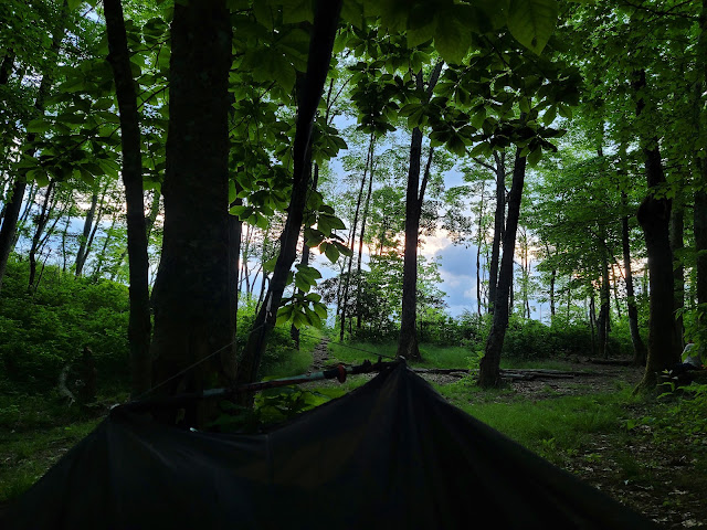 |
| The view from my hammock |
 |
| Sunrise from Wesser Bald Shelter |
 |
| Wesser Bald Shelter |
 |
| The view north to the Smokies |
 |
| Mountain Laurel in Bloom |
The clouds are much thicker than yesterday, and shafts of light peeks through edges of the clouds over the ridge. I watched the sunset to the west of the ridge last night, and hoped to get a beautiful sunrise this morning. I must have missed it... I am packing up when I realize I didn't miss sunrise at all. We are high enough on the ridge that the sun illuminates the sky for an hour before making an official appearance!
The ill-prepared couple weathered the night well in the shelter. Just Gordon and Karma talk to them before we leave, admonishing them to return to their car and give up this foolish attempt. Continuing on the trail without a map or water filtration, let alone a modicum of experience, would be folly in this heat. So many people think the AT is just a walk in the woods. This trail breaks a lot of people who are unskilled in the ways of the wild.
 |
| Clingman's Dome is right here! |
 |
| Down, Down, Down |
 |
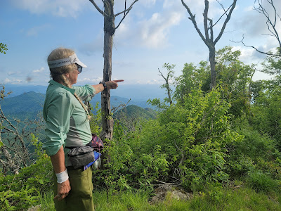
| The View North |
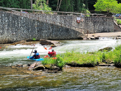
We are eager to get to the Nantahala Outdoor Center (NOC), a destination resort for outdoor activities like whitewater rafting and hiking, and a popular tourist trap for day trippers. NOC is only 6 miles away, but we have a 3,000' descent. Prophylactic ibuprofen to the rescue! My knees will thank me later :-)
 |
| Orange Azaleas |
Should one elect to tour by car between Springer Mountain, Georgia and the northern terminus of Mt. Katahdin in Maine, the trip would cross 1400 or so miles. Hiking the backbone of the Appalachian Mountains increases the mileage by another 700 miles. The AT runs generally from north to south. Currently we hike due north, although sometimes the trail makes an abrupt jaunt to the south, then east, then northwest before resuming it's progress.
Once we cross into Smoky Mountain National Park the trail meanders northeast for 75 miles before abruptly turning north again. Almost the entire descent into NOC we behold the profile of the Smoky Mountains, still 35 miles away but the most prominent ridge on the horizon in any direction. My heart skips a beat when I imagine the physical suffering after we cross Fontana Dam. Thankfully this prospect is several days in the future and our bodies will be more prepared for the elevation. Or they may be more broken!
Right now we have burgers and beer on the brain! We stop occasionally for pictures but plan to eat on the fly so we can get down. The first half of the hike is a very steep decline and rocky, hard on the knees. The last 2 miles or so is less difficult. The rumble of motorcycles from the approaching road causes us to speed up.
Todays stats: 6 miles, 350' elevation gain (not a typo!)
Section stats: 65 miles, 14k' elevation gain
AT total: 136 miles, 30k feet elevation gain




No comments :
Post a Comment